| |
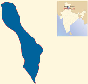
Chandertal Lake is a high altitude lake located in Lahaul and Spiti and is the source if River Chandra. It is about 4300m above the sea level and is also known as 'lake of moon'. Total area of wetland is about 1.53 sq km (49 hac) and the Lake has a circumference of 2.5 km. The lake has been formed due to blockades of rock basin by scree and para glacial deposits and the glaciers are the main source inflow. There is also a regular outflow of water that keeps on varying depending upon the season. Chandertal is an important site for migratory bird during summer.
The wetland had been identified as a wetland of national importance in 2005, due to presence of rare plants, variety of animal species and its role in the maintenance of eco biodiversity of the region. The wetland supports an assemblage of endangered plant and animal species. It is a special value lake as the high-altitude zone is a region of oxygen deficiency, low atmospheric pressure, excessive cold, aridity and intense radiation. The flora and fauna have specialized morphological and physiological features to counteract the unfavorable effects of the extreme environmental conditions.
Chandertal area is covered by glacial type of soil, which is not fully developed. Lake is free from any human activity in the immediate vicinity and hence this fresh water lake is free from eutrophication. The turbidity is also very low. About 65% of the catchment area is a degraded forest due to glacial action and seasonal grazing by migratory graziers. Herbs and grasses cover rest of 35% of the area. Chandertal wetland helps the reduction of flood in downstream as water moves into wetland faster than it moves out downstream part of the channel. Wetland also helps in the retention of moisture in the catchment and subsequently in the growth of grasses and herbaceous plants which protect the land against erosion in the summer season.
During the tourist season a large number of visitors pollute the water quality of the lake by leaving garbage after camping. This adds toxicity to the marine life (Pisciculture) as the camping spot on the alpine meadow at the northern end drains into the lake. The whole Chandertal and its catchment area are grazed heavily by migratory grazers every year. The combined effect of the visitors and herdsmen contribute to increased siltation and organic influx into the lake. Due to the historical and tourism importance of the lake, the construction of a road was undertaken during 1985- 86. But the road construction was stopped in 2004.
State council for Science Technology and Environment has been designated as a Coordinating Agency for the conservation and management of the wetland. Zoological Survey of India has undertaken the faunal survey of Chandertal area in 2004. Geological Dept. of Punjab University is carrying out the Geological study of the area. Apart from this, Tyne Himalayan Expedition 1989, University of Newcastle has covered the ecological features of the Chandertal wetland.
|